World
Japan earthquake injures at least 22; more shaking possible
A Shizuoka earthquake shook neighboring Aichi. Officials warn about further tremors and rain on weakened slopes; no tsunami risk was identified.
What to know
- JMA recorded the earthquake at 1:04 a.m. Sunday in Japan and estimated its magnitude at 5.7. Its updated provisional depth was 41 kilometers.
- The U.S. Geological Survey lists magnitude 5.5 and a depth of 38.1 kilometers for the same earthquake.
- Chita registered upper-five intensity on Japan's local shaking scale. JMA said this earthquake posed no tsunami risk.
- Officials lowered landslide-warning thresholds for Chita because shaking may have weakened the ground. That is a precaution for subsequent rainfall, not a report that a landslide has occurred.
A strong earthquake struck central Japan early Sunday, November 8, shattering windows and injuring at least 22 people, The Associated Press reported, citing local media. The immediate concern extends beyond the first shock: authorities are watching for further strong shaking and for rain to destabilize ground that the earthquake has already weakened.
The Japan Meteorological Agency, or JMA, located the earthquake in western Shizuoka Prefecture. Its strongest recorded local shaking was across the prefectural boundary in Chita, Aichi. That distinction helps explain why an epicenter, a magnitude and a damage report can identify different places or describe different aspects of the same event.
Where did the earthquake strike?
JMA's event bulletin places the source beneath western Shizuoka, within the Philippine Sea plate. The USGS identifies its reviewed location as 10 kilometers northwest of Hamakita. Both locate the same central Japan earthquake; readers should keep the agency name beside its figures rather than combine parts of the two solutions.
The USGS event record gives the origin time as 16:04:35 UTC on November 7. That is 11:04 a.m. Saturday in U.S. Eastern Standard Time and 1:04 a.m. Sunday in Japan. A Saturday timestamp in an American feed therefore does not place the event a day before Japan's Sunday account.
AP described damage including broken storefront glass and books knocked from shelves. It also reported that some injuries occurred when people fell while trying to leave buildings. A separate Reuters video report, published at 10:46 UTC Sunday, also confirmed injuries and described broken dealership windows in Toyohashi and fallen books in Toyota. Reuters did not give a specific injury total. These accounts make the safety issue concrete: a person can be injured by moving objects or by a fall without a building collapsing.
Why are magnitude and shaking intensity different?
USGS explains that magnitude describes an earthquake's overall size, while intensity concerns its effects at a particular location. A single event produces different shaking in different communities. Distance and local ground conditions help determine what people experience.
That makes the strongest local observation especially useful. Chita's upper-five reading is a measurement of shaking there, not a second magnitude for the event. Nor does it mean every neighborhood in Aichi, or every building in Chita, had identical conditions. A national headline cannot replace the information needed to assess a particular home, road or station.
The agencies' magnitude estimates also should not be framed as evidence of two separate earthquakes. JMA's provisional 5.7 and the USGS's reviewed 5.5 are separate agency estimates for the same origin time and region. The appropriate news practice is to identify each source and retain its units and status.
What does upper-five intensity mean for residents?
JMA's intensity guide describes upper-five shaking as making movement difficult without holding something stable. Unsecured furniture can topple, objects can fall from shelves, and windows may break. Those are typical possible effects, rather than an inventory of damage at every address affected Sunday.
The guide also explains that shaking can vary within a city and become amplified on upper floors. Building construction and ground conditions influence damage. Its descriptions help interpret the observation, but they do not certify a building as safe or unsafe. That requires an assessment of the actual structure.
For households, the distinction points to the risk from objects as well as walls. A heavy item on a high shelf and a damaged exterior window present different hazards, even if they share the same location. The recorded intensity provides context for inspections and precautions; it does not replace local instructions about entering or leaving a building.
Why did officials change the landslide-warning criteria?
A separate JMA and transport-ministry notice says ground in strongly shaken parts of Aichi may have become more vulnerable. For Chita, the temporary rainfall-related warning criteria are being operated at 80 percent of the normal threshold. The agencies say they will examine the relationship between subsequent rainfall and landslides and adjust the arrangement if necessary.
Lowering a threshold means officials can issue relevant warnings under conditions that would not reach the normal trigger. It does not mean rainfall has increased by that percentage, or that officials have measured a corresponding rise in the chance of a landslide. The change concerns how the warning system responds after the ground has been shaken.
This is one of the event's most useful developments to follow. A quiet interval after an earthquake does not restore weakened slopes. Rain can become important later, so residents need weather information alongside earthquake updates. The affected municipality and the date of a warning matter more than an undated social-media image of a damaged hillside.
What does the Nankai Trough statement establish?
JMA says the earthquake occurred inside the assumed source region of a Nankai Trough earthquake. Based on the size of this event, however, it did not consider it evidence of a particular change in locking along the plate boundary. The agency said it would continue monitoring seismic activity and crustal movement.
That assessment should be kept within its stated scope. It is neither a declaration that a larger earthquake is imminent nor a guarantee that one cannot occur. The USGS distinction between forecasts and predictions is helpful here: a warning about heightened short-term attention is different from specifying the time, place and magnitude of a future earthquake.
How are alerts and transport precautions connected?
AP reported slower Shinkansen operation as a precaution. In a later Nagoya TV report, JR Central said normal speeds had resumed across the Tokaido Shinkansen at 8:57 a.m. Sunday, after checks between Shizuoka and Gifu-Hashima. This is a dated restoration report, not a guarantee about a later individual service. JMA's explanation of earthquake monitoring describes how rapid estimates can support protective action, including slowing trains and controlling elevators. These systems respond to detected motion; they do not forecast an earthquake before it begins.
For a traveler, the next decision depends on the actual operator and route. A report of reduced speeds is not proof that every train has been canceled. Equally, the absence of a national shutdown does not establish that a particular connection is available. Check the current service notice and the station's instructions before relying on a booking or a usual timetable.
Why can injury totals and early reports differ?
The national Fire and Disaster Management Agency's second bulletin, issued at 2 a.m. Japanese time, still listed injuries and housing damage as being checked. It also recorded more emergency calls than usual in Chita. That early document is an unfinished assessment, not a finding that nobody was hurt.
Later news reporting collected additional information. AP reported at least 22 injuries, while an updated Jiji Press account gave 21. These reports should remain attributed. These are alternative reported totals, not separate groups to add together. A subsequent official consolidated assessment is the appropriate place to look for a revised total. Aichi’s second official report, with a 3:30 p.m. Sunday cutoff, recorded 19 injured within the prefecture, including one serious injury, and no railway suspensions there. Hamamatsu’s 3 p.m. municipal report recorded one injury. These local figures have different geographic boundaries from the national media reports and should not be substituted for them or combined into an unverified national total.
What should readers watch next?
The immediate tests are updated local damage assessments, current transport notices, additional felt earthquakes and any rainfall alerts for shaken ground. JMA's event advice calls for attention to further strong shaking for about a week, particularly during the first two or three days. That is guidance for preparation, not an exact timetable for another shock.
For another example of how authorities separate observations from protective measures, NewsCubby's Mayon volcano coverage explains an alert level and the restrictions attached to it. The hazards differ, but in both cases the operational warning deserves to be read alongside the event headline.
This story will be updated as authorities publish additional verified information. The photographs accompanying this package are dated archive or explanatory images, not documentation of Sunday's damage.
What is known and what is still being checked?
The origin time, the measured shaking and the absence of tsunami risk from this event are documented by the meteorological agency. Reports about individual injuries and property damage continue to be assembled by local authorities. The early national response bulletin and later media counts have different cutoffs, so neither should be silently presented as a final consolidated total.
The next update should identify its issuing authority and time, say whether the injury count has changed, and distinguish a precautionary transport restriction from confirmed damage. A newly felt earthquake also needs its own origin time and location; it should not automatically be described as the same shock or as proof of an imminent larger event.
*Want more? Explore today’s headlines on NewsCubby and join My Day free to make NewsCubby part of your day.*
Photo credits
Act City tower in Hamamatsu, March 19, 2025. Archive regional photograph; not current earthquake damage. Photo: Syced / CC0 1.0. Source.jpg). License. Changes: crop, resizing, motion and text overlays.
Chita city office, Aichi, in January 2013. Archive location photograph; not damage documentation. Photo: アラツク / CC BY-SA 4.0. Source. License. Changes: crop, resizing, motion and text overlays.
USGS portable seismometer deployed in California in 1992. Instrument illustration; not a Japanese monitoring station. Photo: Susan E. Hough / USGS / Public domain — U.S. government. Source. License. Changes: crop, resizing, motion and text overlays.
N700 Shinkansen at Nishi-Akashi, August 2010. Archive transport photograph; not a train affected on November 8. Photo: Takeshi Kuboki / CC BY 2.0. Source.jpg). License. Changes: crop, resizing, motion and text overlays.
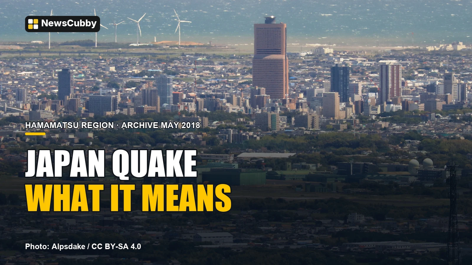
Hamamatsu viewed from Mount Tonmaku in May 2018. Archive regional photograph; no current damage implied. Photo: Alpsdake / CC BY-SA 4.0. Source. License. Changes: crop, resizing, motion and text overlays.
Photo and video adaptations containing ShareAlike photographs are offered under CC BY-SA 4.0; the original images retain their stated licenses. No endorsement is implied.
Reporting Sources
- Associated Press — Strong earthquake shakes central Japan, November 8
- Japan Meteorological Agency — November 8 earthquake bulletin, 03:05 JST
- USGS — Reviewed event us7000twt0
- Fire and Disaster Management Agency — Damage and response report 2, 02:00 JST
- JMA and MLIT — Temporary landslide-warning criteria after the earthquake
- JMA — Tables explaining the seismic intensity scale
- JMA — Earthquake monitoring and early warning
- USGS — Magnitude and intensity explained
- USGS — Early warning, forecasts, probabilities and predictions
- Jiji Press / Nippon.com — Updated central Japan earthquake report, November 8
- Reuters Videos / Yahoo — A magnitude 5.7 earthquake jolts central Japan, November 8, 10:46 UTC
- Aichi Prefecture — Damage report 2, November 8, 15:30 JST
- Hamamatsu city — Earthquake response report 5, November 8, 15:00 JST
- Nagoya TV — JR Central says normal Shinkansen speeds resumed, November 8, 10:46 JST
Photo & Video Credits
Credit: Alpsdake / Wikimedia Commons / CC BY-SA 4.0. License: CC BY-SA 4.0. Source: file page.
Editorial notes
Sources
- Reuters Videos / Yahoo — A magnitude 5.7 earthquake jolts central Japan, November 8, 10:46 UTC: https://sg.news.yahoo.com/magnitude-5-7-earthquake-jolts-104637228.html
- Aichi Prefecture — Damage report 2, November 8, 15:30 JST: https://www.pref.aichi.jp/uploaded/attachment/636189.pdf
- Hamamatsu city — Earthquake response report 5, November 8, 15:00 JST: https://www.city.hamamatsu.shizuoka.jp/documents/174757/2026110805.pdf
- Nagoya TV — JR Central says normal Shinkansen speeds resumed, November 8, 10:46 JST: https://www.nagoyatv.com/news/index_amp.html?id=037957
- Associated Press — Strong earthquake shakes central Japan, November 8: https://apnews.com/article/170119b720b08d9f40028e5bc40feb17
- Japan Meteorological Agency — November 8 earthquake bulletin, 03:05 JST: https://www.jma.go.jp/jma/press/2611/08a/202611080305.html
- USGS — Reviewed event us7000twt0: https://earthquake.usgs.gov/earthquakes/eventpage/us7000twt0
- Fire and Disaster Management Agency — Damage and response report 2, 02:00 JST: https://www.fdma.go.jp/disaster/info/items/20261108shizuokakennseibujishin2.pdf
- JMA and MLIT — Temporary landslide-warning criteria after the earthquake: https://www.jma.go.jp/jma/press/2611/08b/20261108_zantei.pdf
- JMA — Tables explaining the seismic intensity scale: https://www.jma.go.jp/jma/en/Activities/inttable.html
- JMA — Earthquake monitoring and early warning: https://www.jma.go.jp/jma/en/Activities/earthquake.html
- USGS — Magnitude and intensity explained: https://www.usgs.gov/faqs/what-difference-between-earthquake-magnitude-and-earthquake-intensity-what-modified-mercalli
- USGS — Early warning, forecasts, probabilities and predictions: https://www.usgs.gov/faqs/what-difference-between-earthquake-early-warning-earthquake-forecasts-earthquake-probabilities
- Jiji Press / Nippon.com — Updated central Japan earthquake report, November 8: https://www.nippon.com/en/articles/-/57086
*NewsCubby articles are produced with AI assistance.*